GROUND RESEARCH
Comprehensive solution for subsurface knowledge and research
We plan, design and minimise risks through subsoil research
The Ground Research solution encompasses a range of subsurface techniques in order to plan, design and minimise geology-related risks, providing us with the ability to understand the terrain, the existence of previously installed utilities or anthropogenic structures.
Knowledge and research through different techniques helps us to make decisions in order to carry out projects efficiently and successfully.


SOLUTIONS FOR SUBSOIL RESEARCH AND KNOWLEDGE
GROUND PENETRATING RADAR
Location of services to obtain knowledge about the current condition of the subsurface
This solution, using GPR technology, makes it possible to detect the location of existing underground services and structures in the area where the project will be carried out.

TOPOGRAPHY
Knowledge and investigation of the subsurface in the area of interest.
The combination of technologies such as GPS, total station, photographic drone and laser scanner allows us to carry out a topographic survey to provide us with a snapshot, in real time, of the condition of the surface where the project is to be carried out.

ELECTRICAL RESISTIVITY TOMOGRAPHY
Study of the electrical resistivity of subsurface materials.
The injection of controlled direct current into the ground allows us to generate profiles that show contrasts in the electrical resistivity of the subsurface, obtaining qualitative information on the lithography of the area of interest.

BATHYMETRY
Research and collection of information on land covered by water.
Production of a three-dimensional model of underwater features, whether in the sea, lakes, harbours, rivers or marshes. The analysis of the results allows us to define the relief of the terrain, areas with sensitive flora and fauna or anthropic structures.
It is vital for the planning of works in different underwater environments: execution of underwater intakes or outfalls, maintenance of ports, dams or bridges. The detail of the model is key to the preservation of the underwater environment and sensitive flora and fauna.

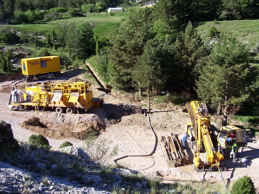
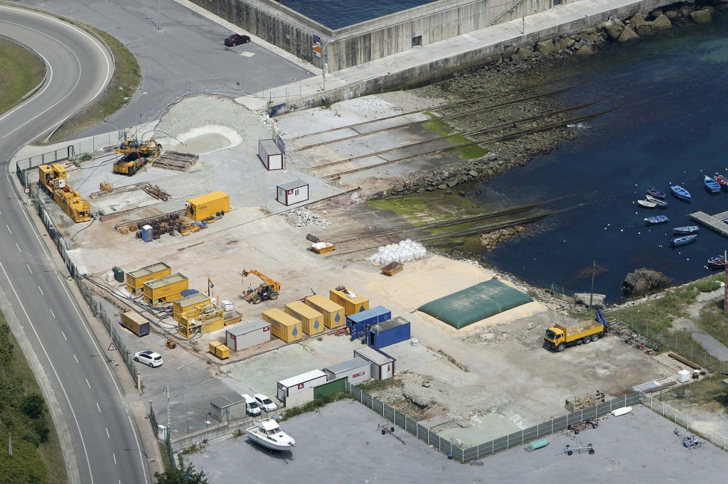
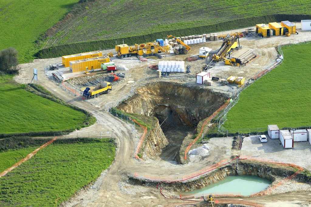
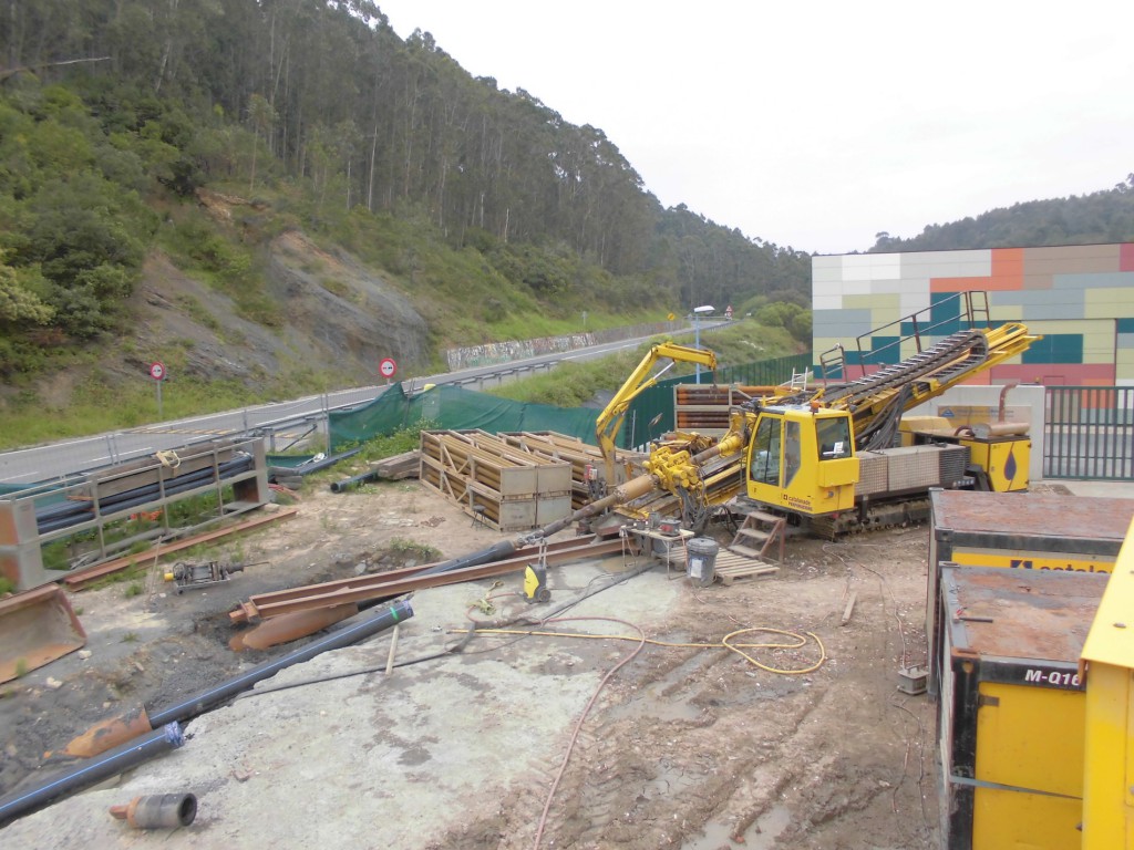
SUBSURFACE INVESTIGATION SOUNDINGS
Wire-Line, method of obtaining samples of the ground to be drilled.
To obtain a more detailed understanding of the physiognomy of the terrain, subsoil investigation drilling campaigns are planned and performed.
Geology technology and geotechnics allow us to perform ground surveys and obtain real samples with a view to subsequently designing and undertaking the relevant actions of the project.

THERMAL RESISTIVITY OF THE SOIL
An indispensable solution for the installation of high-capacity power lines.
The Thermal Response Test (TRT) is a simple method that provides the actual value of the thermal conductivity of the entire borehole area.
Geology technology and geotechnics allow us to perform ground surveys and obtain real samples with a view to subsequently designing and undertaking the relevant actions of the project.

HYDROGEOLOGICAL STUDIES
We perform a detailed analysis of ground movements.
To this end, we undertake hydrogeological studies to obtain a detailed assessment of the characteristics, movement and quality of groundwater in a given geological area.

Uses
- Resource exploration for mining operations
- Ground stability assessment
- Analysis of soil composition for planning the construction of new buildings, sewers, roads, etc.
- Stability and security at work
- Maintenance of drainage and irrigation studies
- Installation of wind and solar farms
- Geothermal
- Planning for the construction of sewerage and drinking water networks
- Archaeological excavations